by Randy Johnson")


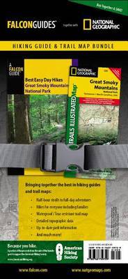
Spring/Summer 2010 marks an exciting new turn for Best Easy Day Hikes four choice guides - to some of America's most popular hiking destinations - accompanied by the corresponding Trails Illustrated map from National Geographic Maps. Packaged for value, and to benefit the efforts of the American Hiking Society, each is a complete hiking resource. (Okay, you still might want a pair of boots.) The books contain descriptions of the best hikes, and the National Geographic Maps include detailed topographic information printed on waterproof, tear-resistant material.
Author Biography
Randy Johnson is a widely published authority on the Appalachian outdoors. He's the author of the bestselling guidebooks Hiking North Carolina and Hiking the Blue Ridge Parkway, among others. Articles and photos by this award-winning photojournalist have for decades brought the Appalachians to readers of national magazines, newspapers, and major outdoor Web sites. He's a longtime resident of the North Carolina mountains and lives in Banner Elk. Visit www.randyjohnsonbooks.com to check out his television and radio appearances, videos, publications and more.With over 165 titles available for America's favorite outdoor destinations, National Geographic Maps' Trails Illustrated maps are the most trusted and popular recreation maps available. Continually setting the standard for accuracy, each map is crafted in conjunction with local land managers, and undergoes rigorous review and enhancement before being printed on waterproof, tear-resistant material. Each Trails Illustrated map contains detailed topographic information, clearly marked and named trails, recreational points of interest, and navigational aids.